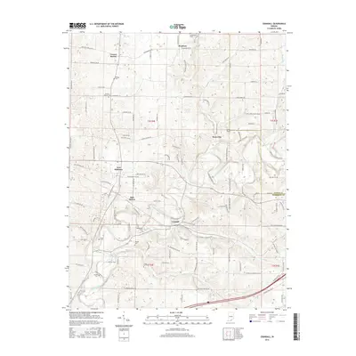
2016 Map of Crandall
USGS Topo · Published 2016About this map
Crandall and the surrounding Harrison County landscape are defined by a network of small rural settlements and meandering waterways. To the north, Central Barren and Bradford sit along the highlands, while the valley of Indian Creek cuts through the center of the quadrangle, passing near Mott Station and New Salisbury. This area maintains a strong connection to its local heritage, evidenced by the numerous burial grounds marking the hillsides, including Central Barren Cem, Sappenfield Cem, and Bethlehem Cem. The drainage patterns of Raccoon Br and Crandall Br dictate the local topography, influencing the placement of historical roads like Cemetary Rd NE and Saint Johns Church Rd NE. The transition from the rural northern uplands to the creek-bottom lands near Byrneville reflects a classic Southern Indiana settlement pattern where small community hubs formed around primary crossroads and water sources.
Find a feature on this map
118 named features on this map. Tap any name to fly to it.
Don’t see what you’re looking for? This feature index may not catch every label — zoom into the map to look around manually.
Map Details
Editions of this 2016 Crandall Map
This is the sole edition of this map. No revisions or reprints were ever made.
Other maps of this area

1909 · Kosmosdale
USGS Topo · 1:48,000

1912 · Kosmosdale
USGS Topo · 1:62,500

1931 · Corydon
USGS Topo · 1:62,500

1939 · Georgetown
USGS Topo · 1:24,000

1941 · Borden
USGS Topo · 1:24,000

1944 · Corydon West
USGS Topo · 1:24,000

1946 · Depauw
USGS Topo · 1:24,000

1947 · Georgetown
USGS Topo · 1:24,000

1947 · Corydon West
USGS Topo · 1:24,000

1948 · Corydon East
USGS Topo · 1:24,000