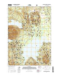
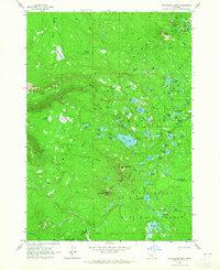
2017 Map of Crane Prairie Reservoir
USGS Topo · Published 2017About this map
The Crane Prairie Reservoir dominates the eastern landscape of this Deschutes National Forest region, reflecting the hydraulic management of the upper Deschutes River basin. This high-altitude terrain in the Cascade Range is defined by volcanic features, including Cultus Mtn and a series of smaller cinder cones such as Wuksi Butte, Palanush Butte, and Shukash Butte. A fascinating local history detail is preserved at Billy Quinn Grave near Osprey Point, offering a rare genealogical marker in a landscape primarily utilized for timber and recreation. The hydrology is complex, with Cultus Lake and Winopee Lake feeding into a network of streams like Cultus Creek and Deer Creek. Early transit routes and forestry access are documented through the Metolius-Windigo trail and various National Forest Development roads, illustrating the area's role as a protected wilderness and watershed.
Find a feature on this map
57 named features on this map. Tap any name to fly to it.
Don’t see what you’re looking for? This feature index may not catch every label — zoom into the map to look around manually.
Map Details
Editions of this 2017 Crane Prairie Reservoir Map
This is the sole edition of this map. No revisions or reprints were ever made.
Other maps of this area

1930 · Maiden Peak
USGS Topo · 1:125,000

1934 · Maiden Peak
USGS Topo · 1:125,000

1955 · Crescent
USGS Topo · 1:250,000

1957 · Crescent
USGS Topo · 1:250,000

1958 · Crescent
USGS Topo · 1:250,000
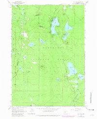
1963 · Elk Lake
USGS Topo · 1:24,000

1963 · Round Mountain
USGS Topo · 1:24,000
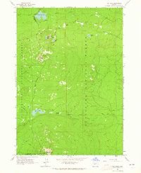
1963 · The Twins
USGS Topo · 1:24,000
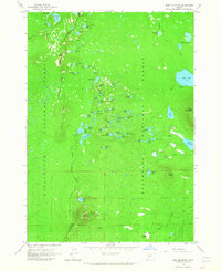
1963 · Irish Mountain
USGS Topo · 1:24,000
1963 · Packsaddle Mtn
USGS Topo · 1:24,000