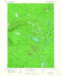
1963 Map of Packsaddle Mtn
USGS Topo · Published 1965About this map
The high mountain divide between Lane and Deschutes counties is defined here by the crossing of the Oregon Skyline Trail through the Cascades in the early 1960s. This survey illustrates a landscape of dense hydrology and primitive transportation, where the South Fork McKenzie River begins its descent amidst a cluster of high-altitude waters like Dumbbell Lake and Corner Lake. The area is characterized by its transition from the Willamette National Forest into the Deschutes National Forest, linked by a complex network of historic paths including the Elk Creek Trail and Lakeside Trail. Grounded landmarks such as Packsaddle Mountain and Horse Mtn anchor the terrain, while meadows like Shroy Meadows and Corral Flat indicate the traditional grazing and camping spots used by early forest travelers. The detailed mapping of features like Bill Gott Spring and Wildcat Swamp provides specific points of reference for those studying the old trail systems of the Oregon wilderness before modern developments altered the access points.
Find a feature on this map
87 named features on this map. Tap any name to fly to it.
Don’t see what you’re looking for? This feature index may not catch every label — zoom into the map to look around manually.
Map Details
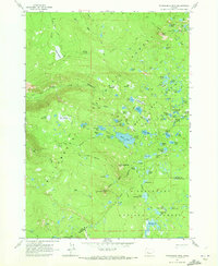
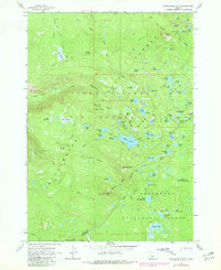
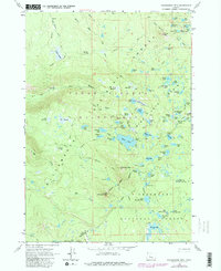
Editions of this 1963 Packsaddle Mtn Map
4 editions found
Other maps of this area

1925 · Waldo Lake
USGS Topo · 1:125,000

1929 · Three Sisters
USGS Topo · 1:125,000

1930 · Maiden Peak
USGS Topo · 1:125,000

1932 · Three Sisters
USGS Topo · 1:125,000

1934 · Maiden Peak
USGS Topo · 1:125,000

1934 · Mc Kenzie Bridge
USGS Topo · 1:96,000

1940 · Mc Kenzie Bridge
USGS Topo · 1:125,000

1953 · Salem
USGS Topo · 1:250,000

1954 · Salem
USGS Topo · 1:250,000

1955 · Chucksney Mtn
USGS Topo · 1:62,500