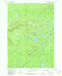
1963 Map of Packsaddle Mtn
USGS Topo · Published 1981About this map
Packsaddle Mountain rises as a central landmark in this high-altitude landscape where the Willamette National Forest meets the Deschutes National Forest. The 1963 survey, updated with revisions from 1979, illustrates a wilderness dominated by an intricate network of alpine water bodies and meadowlands. Strategic shelters, including the Cliff Lake Shelter and Mink Lake Shelter, indicate the region's importance for early backcountry travel and forest management.
Find a feature on this map
77 named features on this map. Tap any name to fly to it.
Don’t see what you’re looking for? This feature index may not catch every label — zoom into the map to look around manually.
Map Details
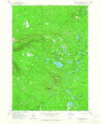
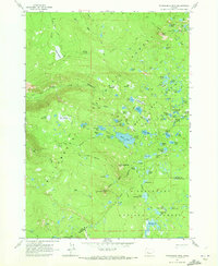
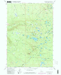
Editions of this 1963 Packsaddle Mtn Map
4 editions found
Other maps of this area

1925 · Waldo Lake
USGS Topo · 1:125,000

1929 · Three Sisters
USGS Topo · 1:125,000

1930 · Maiden Peak
USGS Topo · 1:125,000

1932 · Three Sisters
USGS Topo · 1:125,000

1934 · Maiden Peak
USGS Topo · 1:125,000

1934 · Mc Kenzie Bridge
USGS Topo · 1:96,000

1940 · Mc Kenzie Bridge
USGS Topo · 1:125,000

1953 · Salem
USGS Topo · 1:250,000

1954 · Salem
USGS Topo · 1:250,000

1955 · Chucksney Mtn
USGS Topo · 1:62,500