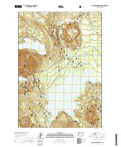
2020 Map of Crane Prairie Reservoir
USGS Topo · Published 2020About this map
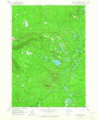
The Billy Quinn Grave stands as a solitary historical marker near Multiple Springs in this 2020 map of the Deschutes National Forest. The landscape is dominated by the sprawling waters of the Crane Prairie Reservoir and the high peaks of the Cascade Range, including Cultus Mtn and Browns Mtn. This area is defined by its complex hydrology, where the Deschutes River and Cultus River feed into the reservoir amidst numerous high-elevation lakes such as Comma Lake and Winopee Lake. A network of specialized winter routes, including the Border To Border (Snow) and Irish And Taylor (Snow) trails, crisscrosses the terrain between volcanic features like Wuksi Butte and Shukash Butte. The map details a transition from the dense timber of the forest to the shoreline at Osprey Point, capturing the recreational and geologically active character of this central Oregon territory.
Find a feature on this map
40 named features on this map. Tap any name to fly to it.
Don’t see what you’re looking for? This feature index may not catch every label — zoom into the map to look around manually.
Map Details
Editions of this 2020 Crane Prairie Reservoir Map
This is the sole edition of this map. No revisions or reprints were ever made.
Other maps of this area

1930 · Maiden Peak
USGS Topo · 1:125,000

1934 · Maiden Peak
USGS Topo · 1:125,000

1955 · Crescent
USGS Topo · 1:250,000

1957 · Crescent
USGS Topo · 1:250,000

1958 · Crescent
USGS Topo · 1:250,000
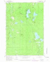
1963 · Elk Lake
USGS Topo · 1:24,000

1963 · Round Mountain
USGS Topo · 1:24,000
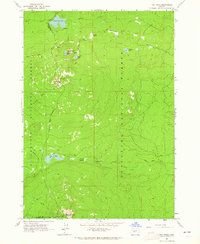
1963 · The Twins
USGS Topo · 1:24,000
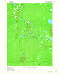
1963 · Irish Mountain
USGS Topo · 1:24,000
1963 · Packsaddle Mtn
USGS Topo · 1:24,000