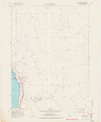
1966 Map of Crannell
USGS Topo · Published 1968About this map
The timber and coastal landscape of northern Humboldt County is documented here during the mid-1960s. The settlement of Crannell serves as a focal point near the Little River, where an extensive Old Railroad Grade winds through the hills, tracing the region's industrial heritage. Along the coastline, the Pacific meets the shore at Little River State Beach and Clam Beach County Park, featuring prominent coastal landmarks like Tepona Point and Little River Rock.
Find a feature on this map
46 named features on this map. Tap any name to fly to it.
Don’t see what you’re looking for? This feature index may not catch every label — zoom into the map to look around manually.
Map Details
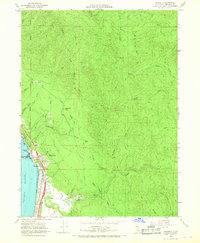
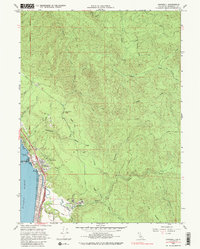
Editions of this 1966 Crannell Map
3 editions found
Other maps of this area

1922 · Eureka
USGS Topo · 1:62,500

1922 · Korbel
USGS Topo · 1:62,500

1925 · Hoopa
USGS Topo · 1:125,000

1933 · Eureka
USGS Topo · 1:48,000

1942 · Eureka
USGS Topo · 1:62,500

1945 · Trinidad
USGS Topo · 1:62,500

1945 · Coyote Peak
USGS Topo · 1:62,500

1945 · Blue Lake
USGS Topo · 1:62,500

1948 · Weed
USGS Topo · 1:250,000

1949 · Eureka
USGS Topo · 1:250,000