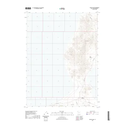
2020 Map of Crater Island
USGS Topo · Published 2020About this map
Silver Island Mountains dominate the eastern topography of this desert landscape, featuring the prominent landform of Crater Island. The terrain is characterized by steep elevation changes and isolated peaks rising from the surrounding flats. At the southern edge of the quadrangle, Donner Reed Pass marks a significant crossing point between the mountainous outcrops. This 2020 survey illustrates the modern isolation of the Great Salt Lake Desert, where transport is limited to unpaved routes like Crater Island Rd and Silver Island Rd. The map also captures the administrative boundary with Box Elder Co at the southern margin, providing a precise record of this sparsely inhabited region of Tooele County.
Find a feature on this map
7 named features on this map. Tap any name to fly to it.
Don’t see what you’re looking for? This feature index may not catch every label — zoom into the map to look around manually.
Map Details
Editions of this 2020 Crater Island Map
This is the sole edition of this map. No revisions or reprints were ever made.
Other maps of this area

1953 · Tooele
USGS Topo · 1:250,000

1954 · Brigham City
USGS Topo · 1:250,000

1955 · Tooele
USGS Topo · 1:250,000

1958 · Brigham City
USGS Topo · 1:250,000

1962 · Brigham City
USGS Topo · 1:250,000
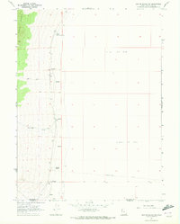
1967 · Crater Island SW
USGS Topo · 1:24,000

1967 · Lemay Island
USGS Topo · 1:24,000
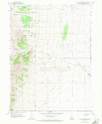
1967 · Crater Island NW
USGS Topo · 1:24,000

1970 · Crater Island
USGS Topo · 1:24,000

1971 · Silver Island Pass
USGS Topo · 1:24,000