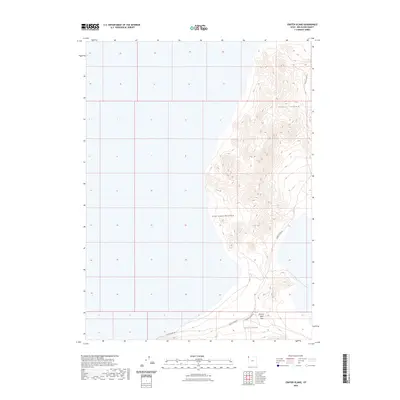
2023 Map of Crater Island
USGS Topo · Published 2023About this map
Silver Island Mountains dominate this remote landscape of Box Elder County, emerging from the expansive desert flats of western Utah. This contemporary survey highlights the topographic isolation of Crater Island and the larger mass of Silver Island to the south. Historically significant pathways like the Donner-Reed Pass cut through these formations, tracing the grueling route taken by emigrants across the salt flats. The land is defined by these stark elevations and the narrow corridors provided by primitive routes such as Silver Island Rd and Crater Island Rd. The map illustrates the specialized geography of the Great Basin, where isolated mountain ranges serve as vital landmarks for navigation through the surrounding arid basins.
Find a feature on this map
6 named features on this map. Tap any name to fly to it.
Don’t see what you’re looking for? This feature index may not catch every label — zoom into the map to look around manually.
Map Details
Editions of this 2023 Crater Island Map
This is the sole edition of this map. No revisions or reprints were ever made.
Other maps of this area

1953 · Tooele
USGS Topo · 1:250,000

1954 · Brigham City
USGS Topo · 1:250,000

1955 · Tooele
USGS Topo · 1:250,000

1958 · Brigham City
USGS Topo · 1:250,000

1962 · Brigham City
USGS Topo · 1:250,000
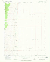
1967 · Crater Island SW
USGS Topo · 1:24,000

1967 · Lemay Island
USGS Topo · 1:24,000
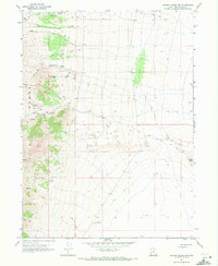
1967 · Crater Island NW
USGS Topo · 1:24,000

1970 · Crater Island
USGS Topo · 1:24,000

1971 · Silver Island Pass
USGS Topo · 1:24,000