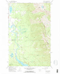
1964 Map of Crater Lake
USGS Topo · Published 1968About this map
The Swan River meanders through the heart of the Flathead Valley on this 1960s survey, documenting a landscape where water and mountain terrain dictate human movement. The boundary between Flathead Co and Lake Co cuts across the valley floor, south of the marshy reaches of Mud Lake. The eastern half of the map is dominated by the steep rises of the Flathead National Forest, including the prominent Crater Mountain and the distinctively named Broken Leg Mountain.
Find a feature on this map
28 named features on this map. Tap any name to fly to it.
Don’t see what you’re looking for? This feature index may not catch every label — zoom into the map to look around manually.
Map Details
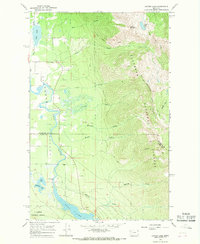
Editions of this 1964 Crater Lake Map
2 editions found
Other maps of this area

1914 · Nyack
USGS Topo · 1:125,000

1920 · Flathead Lake
USGS Topo · 1:125,000

1943 · Kalispell
USGS Topo · 1:125,000

1955 · Choteau
USGS Topo · 1:250,000

1956 · Wallace
USGS Topo · 1:250,000

1957 · Choteau
USGS Topo · 1:250,000

1957 · Kalispell
USGS Topo · 1:250,000

1958 · Choteau
USGS Topo · 1:250,000

1960 · Kalispell
USGS Topo · 1:250,000

1960 · Wallace
USGS Topo · 1:250,000