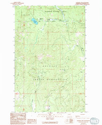
1989 Map of Crawfish Lake
USGS Topo · Published 1994About this map
Colville Indian Reservation and the Okanogan National Forest converge on this late-twentieth-century landscape in Okanogan County. The terrain is defined by high-elevation water sources and early industrial attempts, most notably the Graphite Mine Shaft Tunnel and a nearby Gravel Pit. The presence of these sites suggests a period when local resource extraction was a primary economic driver in the mountainous backcountry.
Find a feature on this map
11 named features on this map. Tap any name to fly to it.
Don’t see what you’re looking for? This feature index may not catch every label — zoom into the map to look around manually.
Map Details
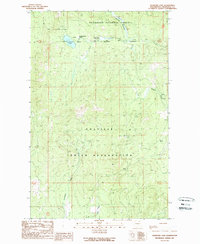
Editions of this 1989 Crawfish Lake Map
2 editions found
Other maps of this area

1902 · Osoyoos
USGS Topo · 1:125,000

1904 · Osoyoos
USGS Topo · 1:125,000

1952 · Disautel
USGS Topo · 1:62,500

1953 · Omak Lake
USGS Topo · 1:62,500

1954 · Okanogan
USGS Topo · 1:250,000

1957 · Tonasket
USGS Topo · 1:62,500

1957 · Aeneas Valley
USGS Topo · 1:62,500

1958 · Okanogan
USGS Topo · 1:250,000
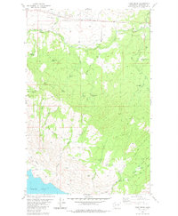
1980 · Camp Seven
USGS Topo · 1:24,000
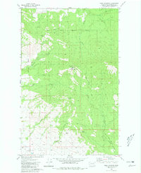
1980 · Omak Mountain
USGS Topo · 1:24,000