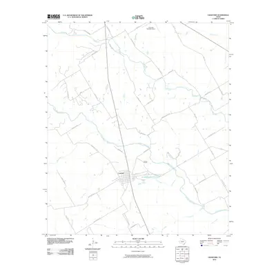
2010 Map of Crawford
USGS Topo · Published 2010About this map
The town of Crawford serves as the focal point of this McLennan County landscape, situated at the intersection of several significant waterways and local routes. The Middle Bosque River winds through the central portion of the area, joined by a network of tributaries including Tonk Creek, Wasp Creek, and Hog Creek. Near the town center, Sycamore Hole and the Crawford Cemetery provide specific points of interest for those researching local landmarks.
Find a feature on this map
43 named features on this map. Tap any name to fly to it.
Don’t see what you’re looking for? This feature index may not catch every label — zoom into the map to look around manually.
Map Details
Editions of this 2010 Crawford Map
This is the sole edition of this map. No revisions or reprints were ever made.
Other maps of this area

1888 · Meridian
USGS Topo · 1:125,000

1892 · Temple
USGS Topo · 1:125,000

1892 · Waco
USGS Topo · 1:125,000

1894 · Meridian
USGS Topo · 1:125,000

1894 · Gatesville
USGS Topo · 1:125,000

1920 · Waco
USGS Topo · 1:125,000

1924 · Waco 3-d
USGS Topo · 1:48,000

1931 · Valley Mills
USGS Topo · 1:62,500

1931 · Mc Gregor
USGS Topo · 1:62,500

1947 · Oglesby
USGS Topo · 1:24,000