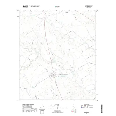
2019 Map of Crawford
USGS Topo · Published 2019About this map
Crawford serves as the central hub for this rural portion of McLennan County, situated at the intersection of N Lone Star Pkwy and several historic local routes. The landscape is defined by the winding course of the Middle Bosque River and its numerous tributaries, including Hog Creek, Tonk Cr, and Wasp Cr. Local topography is highlighted by features like Bible Hill and the distinctive Sycamore Hole along the water's edge. This 2019 survey documents the enduring road network of the area, featuring names that recall local heritage such as the Chisholm Trl, Shiloh Church Rd, and Old Patton Rd. For genealogists and local historians, the Crawford Cem provides a primary point of interest within the town's immediate vicinity, while the Valley Mills Municipal Airport sits on the northern edge of the map, marking a modern transport link for this agricultural region.
Find a feature on this map
55 named features on this map. Tap any name to fly to it.
Don’t see what you’re looking for? This feature index may not catch every label — zoom into the map to look around manually.
Map Details
Editions of this 2019 Crawford Map
This is the sole edition of this map. No revisions or reprints were ever made.
Other maps of this area

1888 · Meridian
USGS Topo · 1:125,000

1892 · Temple
USGS Topo · 1:125,000

1892 · Waco
USGS Topo · 1:125,000

1894 · Meridian
USGS Topo · 1:125,000

1894 · Gatesville
USGS Topo · 1:125,000

1920 · Waco
USGS Topo · 1:125,000

1924 · Waco 3-d
USGS Topo · 1:48,000

1931 · Valley Mills
USGS Topo · 1:62,500

1931 · Mc Gregor
USGS Topo · 1:62,500

1947 · Oglesby
USGS Topo · 1:24,000