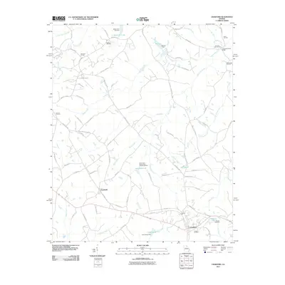
2011 Map of Crawford
USGS Topo · Published 2011About this map
Crawford and Arnoldsville anchor this landscape, where the rural character of Georgia is defined by an intricate network of creeks and small-scale water management. The terrain is marked by numerous family and community burial grounds, including the Mathews Cemetery, Randolph Tucker Cemetery, and Clouds Creek Cemetery, which offer valuable coordinates for genealogical research. The presence of the Jefferson Mill and Howards Covered Bridge points to a history of local industry and river crossings that once supported the agrarian economy. A sophisticated system of reservoirs and dams, such as Brooks Lake Dam, Big Lake Dam, and the South Fork Broad River Number 65 Dam, illustrates the ongoing importance of water control for agriculture and land use in the region. Notable water features like Big Clouds Creek, Little Clouds Creek, and the curiously named Devils Pond further characterize the local hydrology.
Find a feature on this map
85 named features on this map. Tap any name to fly to it.
Don’t see what you’re looking for? This feature index may not catch every label — zoom into the map to look around manually.
Map Details
Editions of this 2011 Crawford Map
This is the sole edition of this map. No revisions or reprints were ever made.
Other maps of this area

1891 · Carnesville
USGS Topo · 1:125,000

1953 · Athens
USGS Topo · 1:250,000

1954 · Greenville
USGS Topo · 1:250,000

1958 · Greenville
USGS Topo · 1:250,000

1958 · Athens
USGS Topo · 1:250,000

1958 · Danielsville
USGS Topo · 1:62,500

1959 · Athens
USGS Topo · 1:250,000

1963 · Athens
USGS Topo · 1:250,000

1964 · Barnett Shoals
USGS Topo · 1:24,000

1964 · Hull
USGS Topo · 1:24,000