
1954 Map of Crawford
USGS Topo · Published 1955About this map
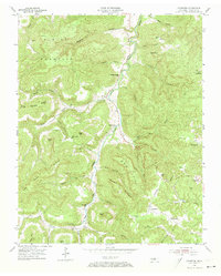
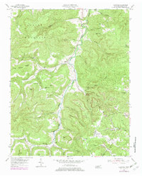
The West Fork Obey River carves a deep valley through the dissected plateau of Overton County, where the coal-hauling Tennessee Central railroad line connects the communities of Crawford and Twinton. In this mid-century landscape, small rural settlements like Allred and Windletown are defined by their proximity to water and rail, with local life centered around institutions such as Shiloh Sch and the Falling Springs Ch.
Find a feature on this map
57 named features on this map. Tap any name to fly to it.
Don’t see what you’re looking for? This feature index may not catch every label — zoom into the map to look around manually.
Map Details
Editions of this 1954 Crawford Map
3 editions found
Other maps of this area

1897 · Standingstone
USGS Topo · 1:125,000

1898 · Standingstone
USGS Topo · 1:125,000

1935 · Clarkrange
USGS Topo · 1:24,000

1943 · Cookeville
USGS Topo · 1:100,000

1944 · Cookeville
USGS Topo · 1:100,000

1944 · Livingston
USGS Topo · 1:24,000

1946 · Clarkrange
USGS Topo · 1:24,000

1946 · Obey City
USGS Topo · 1:24,000
1950 · Clarkrange
USGS Topo · 1:24,000
1950 · Obey City
USGS Topo · 1:24,000