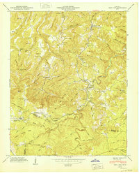
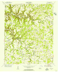
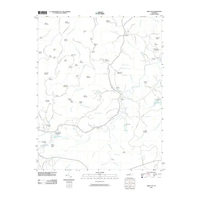
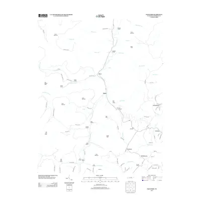
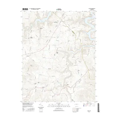
1954 Map of Crawford
USGS Topo · Published 1973About this map
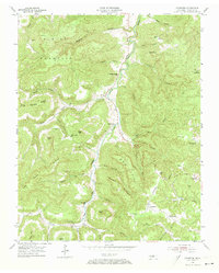
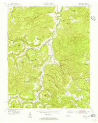
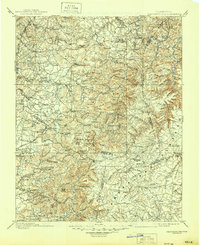
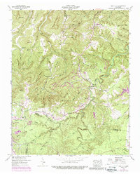
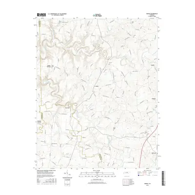
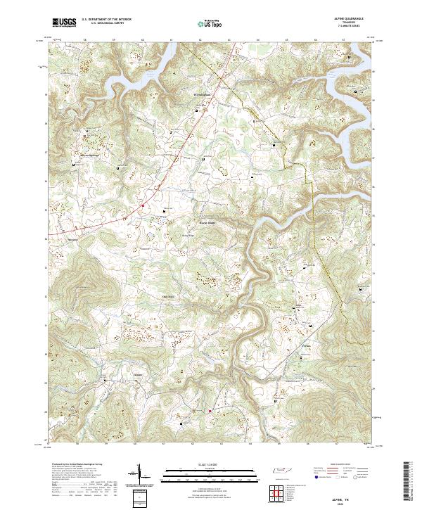
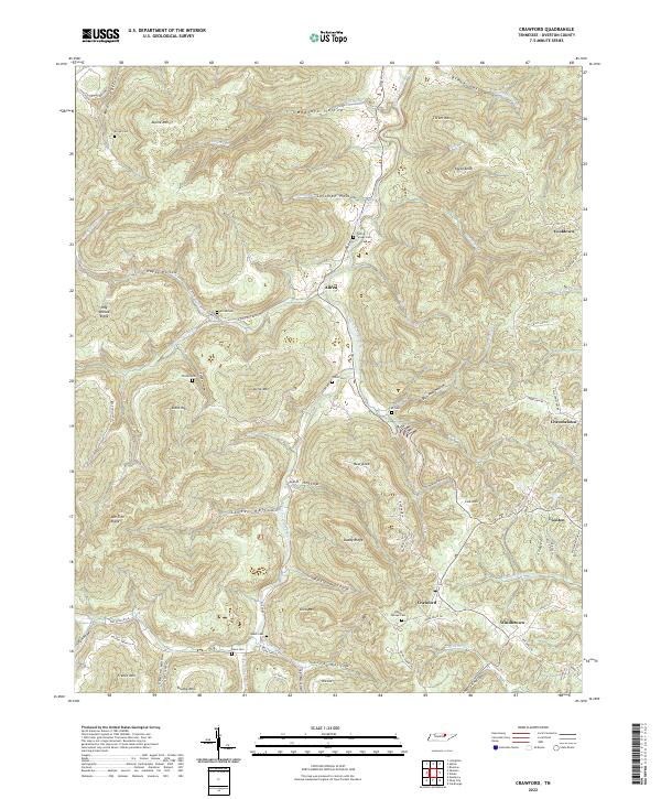
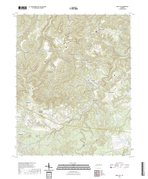
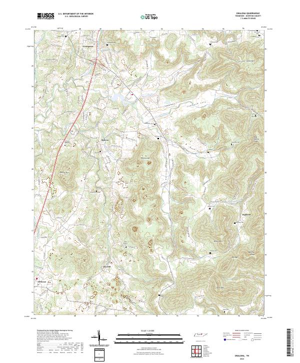
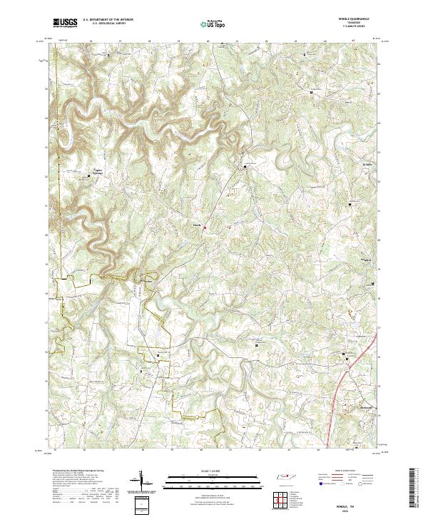
The Tennessee Central railroad line defines the industrial character of this corner of Overton County, connecting the settlements of Crawford, Twinton, and Windletown through a landscape deeply carved by the Obey River West Fork. The terrain is dominated by high ridges and distinctive knobs like Daddy Knob Ridge and Alpine Mountain, which forced early development into narrow hollows and along the river's winding path.
Find a feature on this map
56 named features on this map. Tap any name to fly to it.
Don’t see what you’re looking for? This feature index may not catch every label — zoom into the map to look around manually.
Map Details
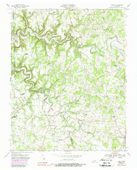
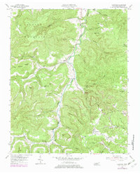
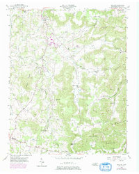
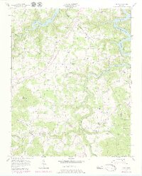
Editions of this 1954 Crawford Map
3 editions found
Historical Maps of Shiloh Through Time
34 maps found

1897 Standingstone
Overton County, TN
1898 Standingstone
Overton County, TN
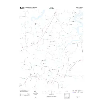
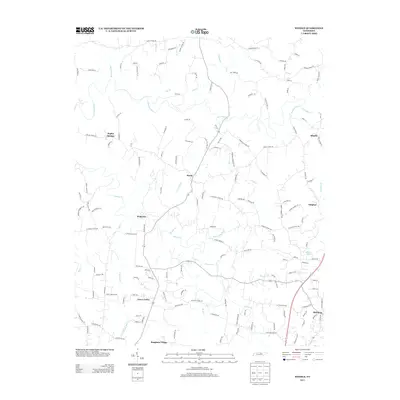
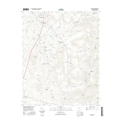
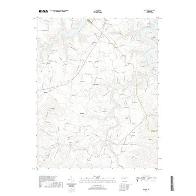
1946 Obey City
Overton County, TN
1950 Obey City
Overton County, TN
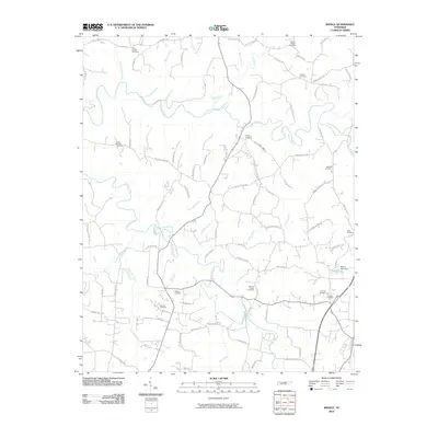
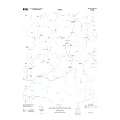
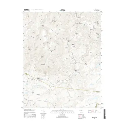
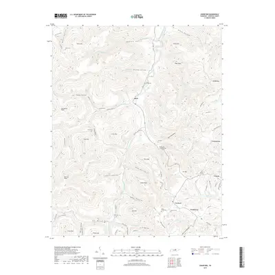
1951 Windle
Overton County, TN
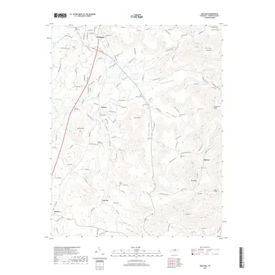
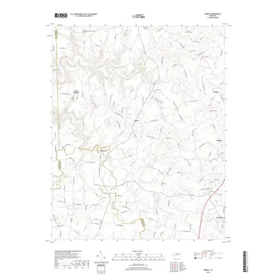
1954 Crawford
Overton County, TN
1955 Okalona
Overton County, TN
1955 Windle
Overton County, TN
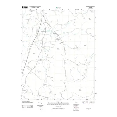
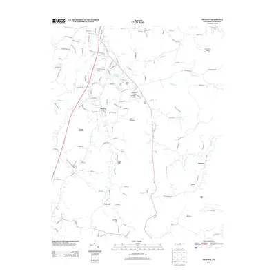
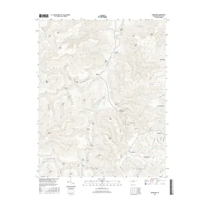
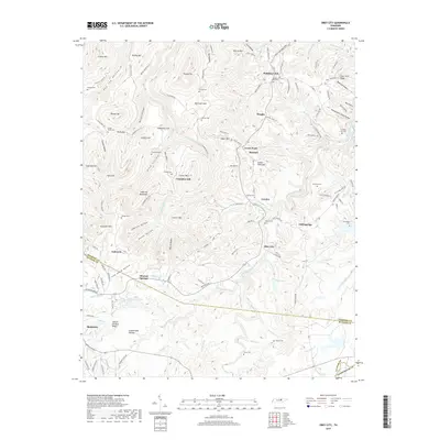
1956 Alpine
Overton County, TN
2010 Alpine
Overton County, TN
2010 Crawford
Overton County, TN
2010 Obey City
Overton County, TN
2010 Okalona
Overton County, TN
2010 Windle
Overton County, TN
2013 Alpine
Overton County, TN
2013 Crawford
Overton County, TN
2013 Obey City
Overton County, TN
2013 Okalona
Overton County, TN
2013 Windle
Overton County, TN
2016 Alpine
Overton County, TN
2016 Crawford
Overton County, TN
2016 Obey City
Overton County, TN
2016 Okalona
Overton County, TN
2016 Windle
Overton County, TN
2019 Alpine
Overton County, TN
2019 Crawford
Overton County, TN
2019 Obey City
Overton County, TN
2019 Okalona
Overton County, TN
2019 Windle
Overton County, TN
2022 Alpine
Overton County, TN
2022 Crawford
Overton County, TN
2022 Obey City
Overton County, TN
2022 Okalona
Overton County, TN
2022 Windle
Overton County, TN