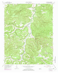
1954 Map of Crawford
USGS Topo · Published 1979About this map
West Fork Obey River carves a deep path through the Cumberland Plateau of Tennessee, defining the rugged layout of settlements like Allred and Crawford. This landscape is characterized by a network of hollows and ridges, from Alpine Mountain in the northwest to the complex drainage of Daddy Ridge. The map reveals a mid-century rural infrastructure reliant on local institutions, including Hickory Flat Sch and the Falling Springs Ch.
Find a feature on this map
57 named features on this map. Tap any name to fly to it.
Don’t see what you’re looking for? This feature index may not catch every label — zoom into the map to look around manually.
Map Details
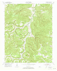
Editions of this 1954 Crawford Map
3 editions found

Other maps of this area

1897 · Standingstone
USGS Topo · 1:125,000

1898 · Standingstone
USGS Topo · 1:125,000

1935 · Clarkrange
USGS Topo · 1:24,000

1943 · Cookeville
USGS Topo · 1:100,000

1944 · Cookeville
USGS Topo · 1:100,000

1944 · Livingston
USGS Topo · 1:24,000

1946 · Clarkrange
USGS Topo · 1:24,000

1946 · Obey City
USGS Topo · 1:24,000
1950 · Clarkrange
USGS Topo · 1:24,000
1950 · Obey City
USGS Topo · 1:24,000