
1955 Map of Crawford
USGS Topo · Published 1959About this map
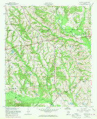
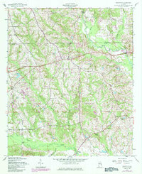
Crawford serves as the primary settlement on this mid-century survey, situated along the border of the Lee Co Russell Co line. The landscape is defined by an intricate network of waterways, most notably the winding courses of Little Uchee Creek and the larger Uchee Creek to the south. These tributaries are linked by numerous crossings, including Bishop Bridge, Hichitee Bridge, and Big Uchee Bridge, which anchor the local transit patterns of the 1950s.
Find a feature on this map
28 named features on this map. Tap any name to fly to it.
Don’t see what you’re looking for? This feature index may not catch every label — zoom into the map to look around manually.
Map Details
Editions of this 1955 Crawford Map
3 editions found
Other maps of this area

1907 · Opelika
USGS Topo · 1:125,000

1909 · Opelika
USGS Topo · 1:125,000

1914 · Seale
USGS Topo · 1:62,500

1949 · Fort Mitchell
USGS Topo · 1:24,000

1950 · Crawford
USGS Topo · 1:24,000

1950 · Seale
USGS Topo · 1:24,000

1950 · Phenix City
USGS Topo · 1:24,000

1950 · Seale
USGS Topo · 1:62,500

1955 · Phenix City
USGS Topo · 1:24,000

1955 · Seale
USGS Topo · 1:24,000