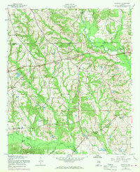
1955 Map of Crawford
USGS Topo · Published 1970About this map
The community of Crawford serves as a central hub in this mid-century survey of the Alabama borderlands, situated just south of the Lee Co Russell Co line. The landscape is defined by the winding course of Uchee Creek and its many tributaries, including Maringo Creek and Whites Little Uchee Creek. This era of the 1950s shows a rural landscape dotted with small community landmarks essential for local history and genealogy, such as St Pauls Ch and St Johns Ch. The presence of several distinct burial grounds, including Davis Cem and Uchee Chapel Cem, alongside the Uchee Sch, illustrates a dispersed but established agricultural society. Significant water features like Dudley Lake and Clarks Lake are shown alongside key transit points such as Little Uchee Bridge, providing a detailed look at the hydrology and infrastructure before modern development patterns intensified in the region.
Find a feature on this map
27 named features on this map. Tap any name to fly to it.
Don’t see what you’re looking for? This feature index may not catch every label — zoom into the map to look around manually.
Map Details
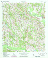
Editions of this 1955 Crawford Map
3 editions found

Other maps of this area

1907 · Opelika
USGS Topo · 1:125,000

1909 · Opelika
USGS Topo · 1:125,000

1914 · Seale
USGS Topo · 1:62,500

1949 · Fort Mitchell
USGS Topo · 1:24,000

1950 · Crawford
USGS Topo · 1:24,000

1950 · Seale
USGS Topo · 1:24,000

1950 · Phenix City
USGS Topo · 1:24,000

1950 · Seale
USGS Topo · 1:62,500

1955 · Phenix City
USGS Topo · 1:24,000

1955 · Seale
USGS Topo · 1:24,000