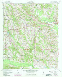
1955 Map of Crawford
USGS Topo · Published 1984About this map
Uchee Creek and its many tributaries, including Little Uchee Creek and Maringo Creek, carve through the landscape of Russell County in this mid-century survey. The settlement of Crawford serves as a central point along the main road, now known as 80, surrounded by a network of rural life. The map reveals the community's social foundations through numerous religious and educational sites, such as St Pauls Ch, St Johns Ch, and the Uchee Sch.
Find a feature on this map
31 named features on this map. Tap any name to fly to it.
Don’t see what you’re looking for? This feature index may not catch every label — zoom into the map to look around manually.
Map Details
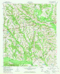
Editions of this 1955 Crawford Map
3 editions found

Other maps of this area

1907 · Opelika
USGS Topo · 1:125,000

1909 · Opelika
USGS Topo · 1:125,000

1914 · Seale
USGS Topo · 1:62,500

1949 · Fort Mitchell
USGS Topo · 1:24,000

1950 · Crawford
USGS Topo · 1:24,000

1950 · Seale
USGS Topo · 1:24,000

1950 · Phenix City
USGS Topo · 1:24,000

1950 · Seale
USGS Topo · 1:62,500

1955 · Phenix City
USGS Topo · 1:24,000

1955 · Seale
USGS Topo · 1:24,000