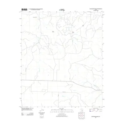
2012 Map of Crawford Slide
USGS Topo · Published 2012About this map
Crawford Slide defines the northern reaches of this Sterling County landscape, where the high plateau gives way to a network of seasonal drainages and canyons. The terrain is marked by significant topographical landmarks such as Goat Mtn and deep incisions like Pierce Canyon and Grubs Canyon. Water sources, critical in this part of Texas, are represented by named intermittent streams including S Gasconades Cr and Kates Cr, as well as the secluded Cosby Spring near the southern boundary.
Find a feature on this map
14 named features on this map. Tap any name to fly to it.
Don’t see what you’re looking for? This feature index may not catch every label — zoom into the map to look around manually.
Map Details
Editions of this 2012 Crawford Slide Map
This is the sole edition of this map. No revisions or reprints were ever made.
Other maps of this area

1954 · Big Spring
USGS Topo · 1:250,000

1954 · San Angelo
USGS Topo · 1:250,000

1958 · San Angelo
USGS Topo · 1:250,000

1958 · Big Spring
USGS Topo · 1:250,000

1959 · Silver
USGS Topo · 1:24,000

1959 · McWhorter Mountain
USGS Topo · 1:24,000

1959 · Dead Indian Mountain
USGS Topo · 1:24,000

1962 · Green Mountain
USGS Topo · 1:24,000

1965 · San Angelo
USGS Topo · 1:250,000

1972 · Sterling City
USGS Topo · 1:24,000