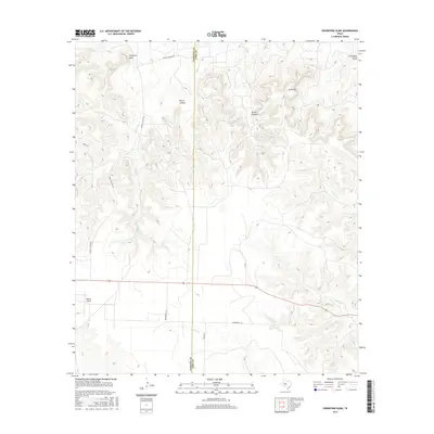
2016 Map of Crawford Slide
USGS Topo · Published 2016About this map
Crawford Slide marks a distinct geomorphological feature in this high-country landscape along the Sterling and Coke County line. The terrain is defined by a network of drainage systems, including Cemetery Draw in the northeast and Pierce Canyon to the west. While the uplands are punctuated by heights like Goat Mtn, the lower elevations are home to vital water sources such as Cosby Spring and Walnut Cr. Transportation in this ranching country is primarily limited to secondary routes like Knight Canyon Rd and Mendenhall Ln, which serve remote homesteads and the Bodine Airport. The map captures a landscape where human infrastructure is sparse and largely dictated by the complex system of canyons, including Grubs Canyon, and seasonal waterways like N Pecan Cr and Kates Cr.
Find a feature on this map
20 named features on this map. Tap any name to fly to it.
Don’t see what you’re looking for? This feature index may not catch every label — zoom into the map to look around manually.
Map Details
Editions of this 2016 Crawford Slide Map
This is the sole edition of this map. No revisions or reprints were ever made.
Other maps of this area

1954 · Big Spring
USGS Topo · 1:250,000

1954 · San Angelo
USGS Topo · 1:250,000

1958 · San Angelo
USGS Topo · 1:250,000

1958 · Big Spring
USGS Topo · 1:250,000

1959 · Silver
USGS Topo · 1:24,000

1959 · McWhorter Mountain
USGS Topo · 1:24,000

1959 · Dead Indian Mountain
USGS Topo · 1:24,000

1962 · Green Mountain
USGS Topo · 1:24,000

1965 · San Angelo
USGS Topo · 1:250,000

1972 · Sterling City
USGS Topo · 1:24,000