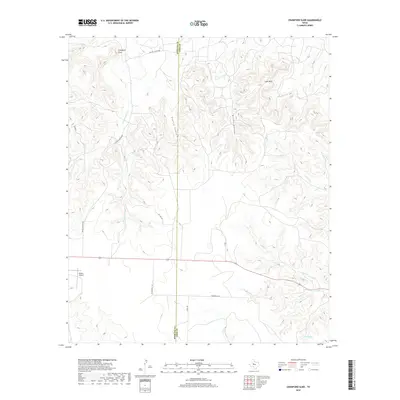
2019 Map of Crawford Slide
USGS Topo · Published 2019About this map
Crawford Slide marks the high, dissected plateau of the West Texas divide along the Sterling and Coke County line. This landscape is defined by its dramatic vertical relief and complex drainage network, where the headwaters of Pecan Cr and Rough Cr carve deep into the Edwards Plateau. The terrain is characterized by prominent landmarks like Goat Mtn and the winding depths of Grubs Canyon, reflecting the arid erosion patterns of the region.
Find a feature on this map
19 named features on this map. Tap any name to fly to it.
Don’t see what you’re looking for? This feature index may not catch every label — zoom into the map to look around manually.
Map Details
Editions of this 2019 Crawford Slide Map
This is the sole edition of this map. No revisions or reprints were ever made.
Other maps of this area

1954 · Big Spring
USGS Topo · 1:250,000

1954 · San Angelo
USGS Topo · 1:250,000

1958 · San Angelo
USGS Topo · 1:250,000

1958 · Big Spring
USGS Topo · 1:250,000

1959 · Silver
USGS Topo · 1:24,000

1959 · McWhorter Mountain
USGS Topo · 1:24,000

1959 · Dead Indian Mountain
USGS Topo · 1:24,000

1962 · Green Mountain
USGS Topo · 1:24,000

1965 · San Angelo
USGS Topo · 1:250,000

1972 · Sterling City
USGS Topo · 1:24,000