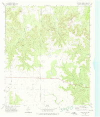
1972 Map of Crawford Slide
USGS Topo · Published 1974About this map
Jameson Field dominates the central landscape of this West Texas region, where the energy infrastructure of the early 1970s is clearly etched across the terrain. Numerous drill sites, a Pumping Sta, and a long-distance Pipeline trace the industrial development across the Sterling Co and Coke Co boundary. The topography is defined by significant landmarks like Goat Mountain and the namesake Crawford Slide, with the land dropping away into drainage systems such as South Gasconades Creek and Pierce Canyon. For those researching local history or genealogy, the presence of a lone Cem and the Roadside Park along the southern highway provide important physical markers of human settlement and travel in this sparsely populated cattle and oil country. Water sources like Cosby Spring and Walnut Creek remain critical features in an area otherwise characterized by dry canyons and technical infrastructure.
Find a feature on this map
23 named features on this map. Tap any name to fly to it.
Don’t see what you’re looking for? This feature index may not catch every label — zoom into the map to look around manually.
Map Details
Editions of this 1972 Crawford Slide Map
2 editions found
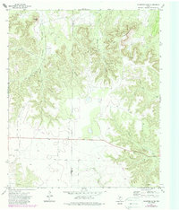
Other maps of this area

1954 · Big Spring
USGS Topo · 1:250,000

1954 · San Angelo
USGS Topo · 1:250,000

1958 · San Angelo
USGS Topo · 1:250,000

1958 · Big Spring
USGS Topo · 1:250,000

1959 · Silver
USGS Topo · 1:24,000

1959 · McWhorter Mountain
USGS Topo · 1:24,000

1959 · Dead Indian Mountain
USGS Topo · 1:24,000

1962 · Green Mountain
USGS Topo · 1:24,000

1965 · San Angelo
USGS Topo · 1:250,000

1972 · Sterling City
USGS Topo · 1:24,000