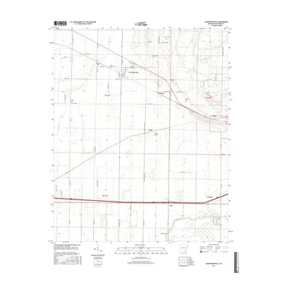
2017 Map of Crawfordsville
USGS Topo · Published 2017About this map
Crawfordsville serves as the primary hub in this portion of Crittenden County, where the intersection of Main St and several rural routes anchors a landscape defined by its agricultural grid and complex drainage system. The area is characterized by an extensive network of waterways, including the winding Fifteenmile Bayou to the south and Alligator Bayou to the west, which dictated the original settlement patterns and field boundaries. For local historians and genealogists, the map is particularly significant for its preservation of numerous smaller community landmarks, such as Bethel Cem and Saint Johns Cem near the town center, and Raspberry Cem to the east near Ebony. These burial sites, along with small settlements like Vincent and Lehi, reflect the historical distribution of labor and family life in the Arkansas Delta, even as modern infrastructure like Interstate 40 now bisects the southern townships.
Find a feature on this map
61 named features on this map. Tap any name to fly to it.
Don’t see what you’re looking for? This feature index may not catch every label — zoom into the map to look around manually.
Map Details
Editions of this 2017 Crawfordsville Map
This is the sole edition of this map. No revisions or reprints were ever made.
Other maps of this area

1916 · Memphis
USGS Topo · 1:62,500

1925 · Memphis
USGS Topo · 1:48,000

1927 · Memphis
USGS Topo · 1:62,500

1931 · Jericho
USGS Topo · 1:62,500

1939 · Jericho
USGS Topo · 1:62,500

1939 · Edmondson
USGS Topo · 1:62,500

1939 · Memphis
USGS Topo · 1:62,500

1940 · Deckerville
USGS Topo · 1:62,500

1952 · Jericho
USGS Topo · 1:62,500

1953 · Memphis
USGS Topo · 1:250,000