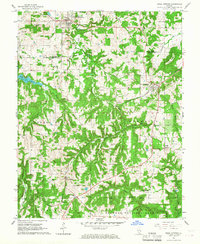
1966 Map of Creal Springs
USGS Topo · Published 1967About this map
Creal Springs and New Burnside anchor this mid-1960s study of the southern Illinois landscape, where the ridges of the Shawnee Hills dictate the path of historical transportation. The rugged topography is most evident along Burnside Ridge and Tunnel Hill, a name shared by both a prominent landform and a small settlement. The influence of steam and steel is visible through the Illinois Central Railroad and the remnants of the New York Central Railroad Grade, which navigate the elevation changes alongside Sugar Creek and Cedar Creek.
Find a feature on this map
52 named features on this map. Tap any name to fly to it.
Don’t see what you’re looking for? This feature index may not catch every label — zoom into the map to look around manually.
Map Details
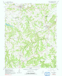
Editions of this 1966 Creal Springs Map
2 editions found
Other maps of this area

1917 · Brownfield
USGS Topo · 1:62,500

1918 · Vienna
USGS Topo · 1:62,500

1919 · Vienna
USGS Topo · 1:62,500

1925 · Marion
USGS Topo · 1:62,500

1925 · Harrisburg
USGS Topo · 1:62,500

1939 · Harrisburg
USGS Topo · 1:62,500

1940 · Marion
USGS Topo · 1:62,500

1942 · Vienna
USGS Topo · 1:62,500

1949 · Paducah
USGS Topo · 1:250,000

1950 · Paducah
USGS Topo · 1:250,000