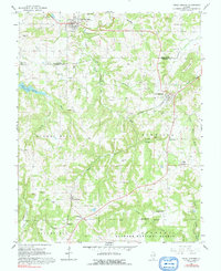
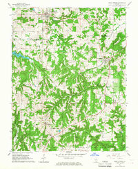
1966 Map of Creal Springs
USGS Topo · Published 1992About this map
Creal Springs and New Burnside anchor this mid-1960s study of the southern Illinois landscape where the Williamson and Johnson County line crosses rolling hills and forests. The mapping captures the western reach of Lake of Egypt and the extensive wooded acreage of the Shawnee National Forest. Transportation history is clearly legible through the New York Central Railroad Grade and an Old Railroad Grade that traverse the region, linking smaller settlements like Parker, Ozark, and Tunnel Hill. Genealogists will find a high density of rural burial sites, including Great Springs Cem, Salem Cem, and Newbold Cem, often located near crossroads or vanished rail stops. The presence of Camp Ondessonk near Ozark Creek illustrates the area's development into a regional destination for recreation and youth education during this era.
Find a feature on this map
57 named features on this map. Tap any name to fly to it.
Don’t see what you’re looking for? This feature index may not catch every label — zoom into the map to look around manually.
Map Details
Editions of this 1966 Creal Springs Map
2 editions found
Other maps of this area

1917 · Brownfield
USGS Topo · 1:62,500

1918 · Vienna
USGS Topo · 1:62,500

1919 · Vienna
USGS Topo · 1:62,500

1925 · Marion
USGS Topo · 1:62,500

1925 · Harrisburg
USGS Topo · 1:62,500

1939 · Harrisburg
USGS Topo · 1:62,500

1940 · Marion
USGS Topo · 1:62,500

1942 · Vienna
USGS Topo · 1:62,500

1949 · Paducah
USGS Topo · 1:250,000

1950 · Paducah
USGS Topo · 1:250,000