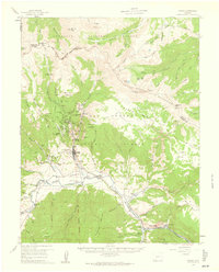
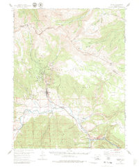
1959 Map of Creede
USGS Topo · Published 1961About this map
The mining legacies of Mineral County are clearly delineated in this late 1950s survey of the Creede district. The high-altitude landscape is dominated by the Denver and Rio Grande Western railroad, which follows the curve of the Rio Grande through Wagon Wheel Gap toward the silver-rich gulches. To the north, the terrain rises sharply into the La Garita Mountains, where a dense concentration of industrial sites like the Amethyst Mine, Commodore Mine, and Solomon Mine mark the history of the San Juan Mountains silver boom. Evidence of early settlement remains at the Historical Cem and North Creede, while local infrastructure is represented by the Fremont Sch No 1 and the Fish Hatchery. The map captures the area as it transitioned from an active mining powerhouse to a gateway for the Rio Grande National Forest.
Find a feature on this map
86 named features on this map. Tap any name to fly to it.
Don’t see what you’re looking for? This feature index may not catch every label — zoom into the map to look around manually.
Map Details
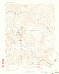
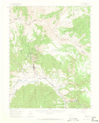
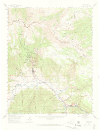
Editions of this 1959 Creede Map
6 editions found

Other maps of this area

1905 · San Cristobal
USGS Topo · 1:125,000

1907 · San Cristobal
USGS Topo · 1:125,000

1908 · Uncompahgre
USGS Topo · 1:125,000

1911 · Uncompahgre
USGS Topo · 1:125,000

1914 · Creede
USGS Topo · 1:125,000

1916 · Creede
USGS Topo · 1:125,000

1945 · Durango
USGS Topo · 1:250,000

1953 · Durango
USGS Topo · 1:250,000

1954 · Durango
USGS Topo · 1:250,000

1956 · Montrose
USGS Topo · 1:250,000