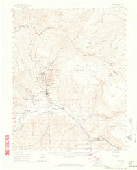
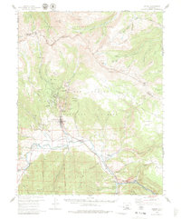
1959 Map of Creede
USGS Topo · Published 1965About this map
Silver mining legacy dominates this mid-century survey of the high San Juan Mountains, centering on the bustling corridor of Creede and North Creede. The narrow canyons north of the town site are dense with claims, including the Amethyst Mine, Commodore Mine, and Holy Moses Mine, illustrating the intense mineral extraction that defined the local economy. Beyond the industrial activity, the map reveals the broader ranching and transportation landscape of the era, from the Wason Ranch to the Denver and Rio Grande Western railroad winding along the Rio Grande. High-altitude landmarks like the Continental Divide and San Luis Peak frame the wilderness areas of the Rio Grande National Forest, while local genealogical details are preserved at the Creede Cem and the former site of Graves (Historical).
Find a feature on this map
92 named features on this map. Tap any name to fly to it.
Don’t see what you’re looking for? This feature index may not catch every label — zoom into the map to look around manually.
Map Details
Editions of this 1959 Creede Map
6 editions found

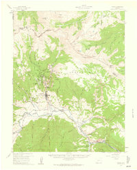
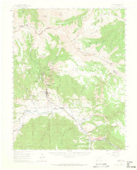
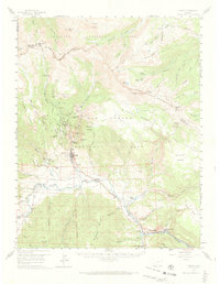
Other maps of this area

1905 · San Cristobal
USGS Topo · 1:125,000

1907 · San Cristobal
USGS Topo · 1:125,000

1908 · Uncompahgre
USGS Topo · 1:125,000

1911 · Uncompahgre
USGS Topo · 1:125,000

1914 · Creede
USGS Topo · 1:125,000

1916 · Creede
USGS Topo · 1:125,000

1945 · Durango
USGS Topo · 1:250,000

1953 · Durango
USGS Topo · 1:250,000

1954 · Durango
USGS Topo · 1:250,000

1956 · Montrose
USGS Topo · 1:250,000