
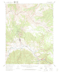
1959 Map of Creede
USGS Topo · Published 1961About this map
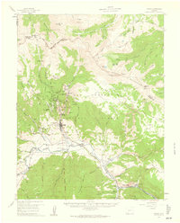
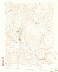
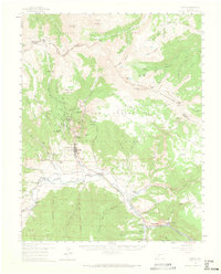
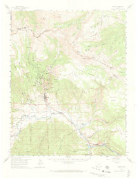
Silver mining operations dominate the high country north of Creede during this mid-century period, with a dense concentration of claims lining West Willow Creek and East Willow Creek. The map records a significant industrial landscape including the Amethyst Mine, Bachelor Mine, and Commodore Mine, alongside remnants of earlier settlements like the Weaver site and Sunnyside site. These mineral interests are supported by the Denver and Rio Grande Western railroad, which follows the Rio Grande through Wagon Wheel Gap to reach the district’s terminal. To the south and east, the character of the land shifts toward ranching and recreation at Wason Ranch and the Marshall Park Campground, all while the Continental Divide and the La Garita Mountains form a formidable natural boundary to the north.
Find a feature on this map
93 named features on this map. Tap any name to fly to it.
Don’t see what you’re looking for? This feature index may not catch every label — zoom into the map to look around manually.
Map Details
Editions of this 1959 Creede Map
6 editions found
Other maps of this area

1905 · San Cristobal
USGS Topo · 1:125,000

1907 · San Cristobal
USGS Topo · 1:125,000

1908 · Uncompahgre
USGS Topo · 1:125,000

1911 · Uncompahgre
USGS Topo · 1:125,000

1914 · Creede
USGS Topo · 1:125,000

1916 · Creede
USGS Topo · 1:125,000

1945 · Durango
USGS Topo · 1:250,000

1953 · Durango
USGS Topo · 1:250,000

1954 · Durango
USGS Topo · 1:250,000

1956 · Montrose
USGS Topo · 1:250,000