Loading...
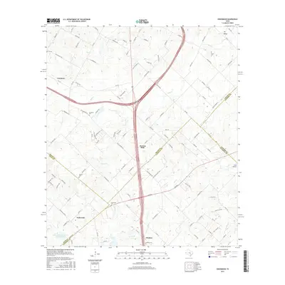
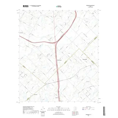
Loading map...2022 Map of Creedmoor
USGS Topo · Published 2022About this map
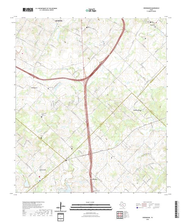
Maha Cr and Cowpen Cr drain this central Texas landscape south of Austin, where the intersection of major transportation corridors has long shaped local development. The area is dense with legacy sites for genealogists, particularly the cluster of Swedish heritage locations including Elroy Swedish Baptist Church and Moline Swedish Lutheran Cem. These sites, along with the Elroy Mexican Baptist Church Cem, reflect a diverse history of immigrant and local communities.
Find a feature on this map
129 named features on this map. Tap any name to fly to it.
Don’t see what you’re looking for? This feature index may not catch every label — zoom into the map to look around manually.
Map Details
Date Portrayed2022
Date Published2022
PublisherU.S. Geological Survey
Map TypeTopographic
Scale1:24,000
Physical Dimensions24 x 29 inches
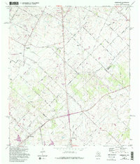
Editions of this 2022 Creedmoor Map
This is the sole edition of this map. No revisions or reprints were ever made.
Historical Maps of Austin Through Time
6 maps found
Featured Locations
Source Details
SourceU.S. Geological Survey
CopyrightPublic Domain