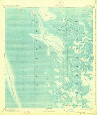
1892 Map of Creole
USGS Topo · Published 1927About this map
Trembling Prairie dominates the western half of this late-19th-century survey, a vast expanse of coastal marshland defined by its fluid boundaries and intricate hydrological network. This coastal landscape, compiled in 1891, reveals the complex interface of the Lafourche and Jefferson parish lines as they weave through a mosaic of tidal waters. The eastern portion of the map is a labyrinth of interconnected bays and bayous, where the larger Little Lake and Hackberry Bay give way to smaller, curiously named channels like John the Fool Bayou and Snail Bayou.
Find a feature on this map
29 named features on this map. Tap any name to fly to it.
Don’t see what you’re looking for? This feature index may not catch every label — zoom into the map to look around manually.
Map Details
Editions of this 1892 Creole Map
4 editions found
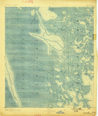
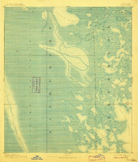
Other maps of this area

1891 · Pointe a La Hache
USGS Topo · 1:62,500

1892 · Barataria
USGS Topo · 1:62,500

1892 · Cheniere Caminada
USGS Topo · 1:62,500

1892 · Cut-Off
USGS Topo · 1:62,500

1892 · Creole
USGS Topo · 1:62,500

1892 · Pointe a La Hache
USGS Topo · 1:62,500

1893 · Fort Livingston
USGS Topo · 1:62,500

1894 · Timbalier
USGS Topo · 1:62,500

1894 · Lake Felicity
USGS Topo · 1:62,500

1935 · Bay Courant
USGS Topo · 1:31,680