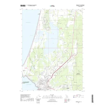
2018 Map of Crescent City
USGS Topo · Published 2018About this map
Crescent City serves as the focal point for this coastal survey of Del Norte County, documenting the street grid and local infrastructure of the northern California shoreline. The map reveals a high concentration of genealogical sites within the city, including the Catholic Cem, Masonic Cem, and the historic Brother Jonathan Cem near the waterfront. To the north, the landscape transitions into the water-rich environments of Lake Talawa and the Talawa Slough, reflecting the complex coastal geography that has long defined life in this region.
Find a feature on this map
197 named features on this map. Tap any name to fly to it.
Don’t see what you’re looking for? This feature index may not catch every label — zoom into the map to look around manually.
Map Details
Editions of this 2018 Crescent City Map
This is the sole edition of this map. No revisions or reprints were ever made.
Other maps of this area

1929 · Crescent City
USGS Topo · 1:125,000

1945 · Point St. George
USGS Topo · 1:62,500

1945 · Requa
USGS Topo · 1:62,500

1949 · Eureka
USGS Topo · 1:250,000
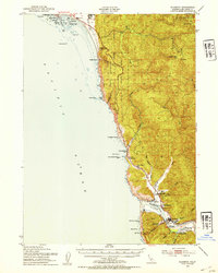
1952 · Klamath
USGS Topo · 1:62,500

1952 · Crescent City
USGS Topo · 1:62,500
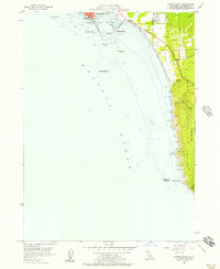
1956 · Sister Rocks
USGS Topo · 1:24,000

1956 · Crescent City
USGS Topo · 1:24,000

1956 · Smith River
USGS Topo · 1:24,000

1958 · Eureka
USGS Topo · 1:250,000