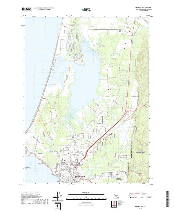
2021 Map of Crescent City
USGS Topo · Published 2021About this map
Crescent City sits at the heart of this coastal survey, where the urban grid meets the rugged edges of the Pacific Ocean and the dense forests of Redwood National Park. The landscape is defined by its transition from the rocky offshore features like Castle Rock and Preston Island to the expansive coastal wetlands of Lake Talawa. A significant cluster of historical and genealogical sites is located on the city’s western edge, including Saint Josephs Catholic Cem, Old County Cem, and the Independent Order of Odd Fellows Memorial Cem. North of the city, the settlement of Fort Dick and the coastal reach of Kellogg Road Beach anchor the northern corridor, while aviation history is represented by Jack Mc Namara Field. This layout illustrates a community built on a thin margin between the wild California coast and the timber-rich hills of Kings Valley.
Find a feature on this map
195 named features on this map. Tap any name to fly to it.
Don’t see what you’re looking for? This feature index may not catch every label — zoom into the map to look around manually.
Map Details
Editions of this 2021 Crescent City Map
This is the sole edition of this map. No revisions or reprints were ever made.
Other maps of this area

1929 · Crescent City
USGS Topo · 1:125,000

1945 · Point St. George
USGS Topo · 1:62,500

1945 · Requa
USGS Topo · 1:62,500

1949 · Eureka
USGS Topo · 1:250,000
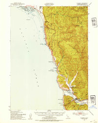
1952 · Klamath
USGS Topo · 1:62,500

1952 · Crescent City
USGS Topo · 1:62,500
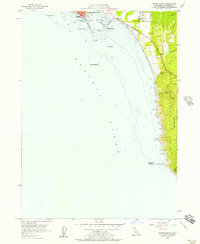
1956 · Sister Rocks
USGS Topo · 1:24,000

1956 · Crescent City
USGS Topo · 1:24,000

1956 · Smith River
USGS Topo · 1:24,000

1958 · Eureka
USGS Topo · 1:250,000