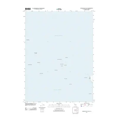
2012 Map of Crescent City OE W
USGS Topo · Published 2012About this map
Saint George Reef Lighthouse stands as a sentinel over the treacherous waters northwest of the California coast, anchored amidst the complex series of hazards known as the Saint George Reef. This maritime-focused map highlights the navigationally significant hazards of the Pacific Ocean, where prominent features like South West Seal Rock, East Rock, and Whale Rock emerge from the swells. The proximity to the mainland is visible at Point Saint George, where the shoreline is punctuated by White Rock and Castle Rock. The map provides a precise record of named breaks and submerged features, including Great Break and Mansfield Break, which defined the local seafaring experience in the early 21st century. It serves as an essential reference for understanding the coastal geography and maritime safety infrastructure in this corner of Del Norte County.
Find a feature on this map
17 named features on this map. Tap any name to fly to it.
Don’t see what you’re looking for? This feature index may not catch every label — zoom into the map to look around manually.
Map Details
Editions of this 2012 Crescent City OE W Map
This is the sole edition of this map. No revisions or reprints were ever made.
Other maps of this area

1929 · Crescent City
USGS Topo · 1:125,000

1945 · Point St. George
USGS Topo · 1:62,500

1945 · Requa
USGS Topo · 1:62,500

1949 · Eureka
USGS Topo · 1:250,000
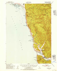
1952 · Klamath
USGS Topo · 1:62,500

1952 · Crescent City
USGS Topo · 1:62,500
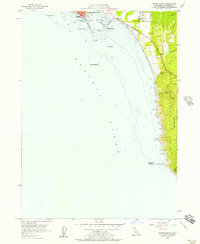
1956 · Sister Rocks
USGS Topo · 1:24,000

1956 · Crescent City
USGS Topo · 1:24,000

1956 · Smith River
USGS Topo · 1:24,000

1958 · Eureka
USGS Topo · 1:250,000