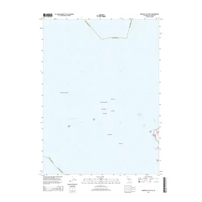
2015 Map of Crescent City OE W
USGS Topo · Published 2015About this map
Saint George Reef dominates this maritime survey off the coast of Del Norte County, California. The chart meticulously documents the complex underwater and surface hazards that define the approach to Point Saint George. Significant landmarks such as Castle Rock and South West Seal Rock are positioned relative to the navigating channels of Dragon Channel and Saint George Channel. This 2015 edition provides a clear picture of the dangerous rocky outcroppings including Whale Rock, Mussel Rock, and Jonathan Rock. The data is grounded in a legacy of hydrographic surveys, mapping the intersection of the Pacific Ocean and the northern California coastline near Pelican Bay. The inclusion of the Public Land Survey System grid, specifically t16n r2w, allows for precise geographical correlation for researchers studying maritime history or coastal land use.
Find a feature on this map
21 named features on this map. Tap any name to fly to it.
Don’t see what you’re looking for? This feature index may not catch every label — zoom into the map to look around manually.
Map Details
Editions of this 2015 Crescent City OE W Map
This is the sole edition of this map. No revisions or reprints were ever made.
Other maps of this area

1929 · Crescent City
USGS Topo · 1:125,000

1945 · Point St. George
USGS Topo · 1:62,500

1945 · Requa
USGS Topo · 1:62,500

1949 · Eureka
USGS Topo · 1:250,000
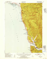
1952 · Klamath
USGS Topo · 1:62,500

1952 · Crescent City
USGS Topo · 1:62,500
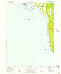
1956 · Sister Rocks
USGS Topo · 1:24,000

1956 · Crescent City
USGS Topo · 1:24,000

1956 · Smith River
USGS Topo · 1:24,000

1958 · Eureka
USGS Topo · 1:250,000