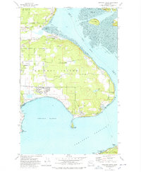
1977 Map of Crescent Harbor
USGS Topo · Published 1978About this map
Whidbey Island dominates this northern Puget Sound landscape, where massive military infrastructure meets the rural coastline of Island County. The Whidbey Island Naval Air Station is a focal point of the sheet, featuring a complex network of runways, a Substation, and a Sewage Disposal Pond bounded by the Naval Reservation Bdy. North of the airfield, a grid of family-named roads like Vanderwell Road, Kinzie Road, and Fakkema Road suggests a history of local land ownership and agriculture interspersed with numerous Gravel Pits.
Find a feature on this map
59 named features on this map. Tap any name to fly to it.
Don’t see what you’re looking for? This feature index may not catch every label — zoom into the map to look around manually.
Map Details
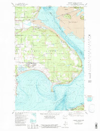
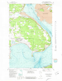
Editions of this 1977 Crescent Harbor Map
3 editions found
Other maps of this area

1911 · Mount Vernon
USGS Topo · 1:125,000

1939 · Coupeville
USGS Topo · 1:62,500

1940 · Mt Vernon
USGS Topo · 1:62,500

1943 · Mt Vernon
USGS Topo · 1:62,500

1943 · Stanwood
USGS Topo · 1:62,500

1943 · Deception Pass
USGS Topo · 1:62,500

1951 · Deception Pass
USGS Topo · 1:62,500

1953 · Coupeville
USGS Topo · 1:24,000

1953 · Camano
USGS Topo · 1:24,000
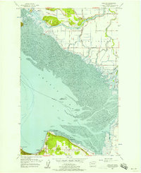
1956 · Utsalady
USGS Topo · 1:24,000