
1958 Map of Crescent Junction
USGS Topo · Published 1960About this map
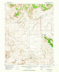
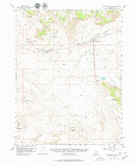
Crescent Junction serves as the focal point for this 1950s survey of the high desert of Grand County, situated at the base of the massive Book Cliffs. The landscape is a study in mid-century resource extraction and arid-land management, characterized by a network of test wells, oil wells, and scattered livestock watering holes like the Tenmile Wash Reservoir and Rock Corral Reservoir. The presence of Valley City (Site) marks the location of a former settlement, providing a waypoint for local historians tracking the shifting habitation patterns of the region.
Find a feature on this map
77 named features on this map. Tap any name to fly to it.
Don’t see what you’re looking for? This feature index may not catch every label — zoom into the map to look around manually.
Map Details
Editions of this 1958 Crescent Junction Map
3 editions found
Other maps of this area

1885 · San Rafael
USGS Topo · 1:250,000

1885 · East Tavaputs
USGS Topo · 1:250,000

1885 · La Sal
USGS Topo · 1:250,000

1886 · Price River
USGS Topo · 1:250,000

1896 · Price River
USGS Topo · 1:250,000

1951 · The Knoll
USGS Topo · 1:62,500

1952 · Moab 4 NW
USGS Topo · 1:24,000

1952 · Moab 3 NE
USGS Topo · 1:24,000

1952 · Tidwell 4 NE
USGS Topo · 1:24,000

1952 · Moab 3 NW
USGS Topo · 1:24,000