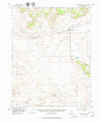
1958 Map of Crescent Junction
USGS Topo · Published 1980About this map
The Denver and Rio Grande Western Railroad cuts across this high desert landscape, serving as the primary corridor for regional movement through the Book Cliffs and Crescent Flat. In the late 1950s, the map identifies Valley City simply as a site, providing a record of a settlement location near the Valley City Reservoir. The presence of numerous Test Wells and Oil Wells scattered across the Crooked Bench and Salt Valley Wash indicate an era of active petroleum exploration.
Find a feature on this map
59 named features on this map. Tap any name to fly to it.
Don’t see what you’re looking for? This feature index may not catch every label — zoom into the map to look around manually.
Map Details
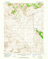
Editions of this 1958 Crescent Junction Map
3 editions found

Other maps of this area

1885 · San Rafael
USGS Topo · 1:250,000

1885 · East Tavaputs
USGS Topo · 1:250,000

1885 · La Sal
USGS Topo · 1:250,000

1886 · Price River
USGS Topo · 1:250,000

1896 · Price River
USGS Topo · 1:250,000

1951 · The Knoll
USGS Topo · 1:62,500

1952 · Moab 4 NW
USGS Topo · 1:24,000

1952 · Moab 3 NE
USGS Topo · 1:24,000

1952 · Tidwell 4 NE
USGS Topo · 1:24,000

1952 · Moab 3 NW
USGS Topo · 1:24,000