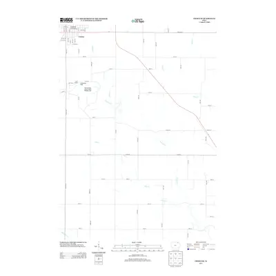
2013 Map of Cresco SE
USGS Topo · Published 2013About this map
The Turkey River winds through the heart of this Howard County landscape, creating a distinct riparian corridor that defines the local geography. To the northwest, the settlement of Cresco extends its grid of streets and avenues into the neighboring countryside, while the smaller community of New Oregon sits just south of the river. The area is heavily managed for recreation and conservation, anchored by the Turkey River Access State Wildlife Area and Camp Kiwanis. A network of rural routes, including Yankee Ave and Kings Rd, connects these settlements and the scattered agricultural parcels between them.
Find a feature on this map
60 named features on this map. Tap any name to fly to it.
Don’t see what you’re looking for? This feature index may not catch every label — zoom into the map to look around manually.
Map Details
Editions of this 2013 Cresco SE Map
This is the sole edition of this map. No revisions or reprints were ever made.
Other maps of this area

1906 · Decorah
USGS Topo · 1:125,000

1954 · Mason City
USGS Topo · 1:250,000

1957 · Mason City
USGS Topo · 1:250,000

1958 · Mason City
USGS Topo · 1:250,000

1958 · La Crosse
USGS Topo · 1:250,000

1961 · La Crosse
USGS Topo · 1:250,000

1965 · La Crosse
USGS Topo · 1:250,000

1975 · Decorah 2 NW
USGS Topo · 1:24,000

1975 · Decorah 3 NW
USGS Topo · 1:24,000

1975 · Decorah 2 SW
USGS Topo · 1:24,000