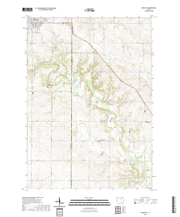
2022 Map of Cresco SE
USGS Topo · Published 2022About this map
The Howard County Courthouse stands as a central landmark in Cresco, marking the urban anchor of this agricultural landscape in northeast Iowa. The terrain is defined by the winding course of the Turkey River and its numerous tributaries, including Chithaks Cr, Otter Cr, and Walnut Cr. These waterways cut through the section lines, creating a rolling topography that contrasts with the rigid grid of rural roads like Madison RD and Kings RD.
Find a feature on this map
33 named features on this map. Tap any name to fly to it.
Don’t see what you’re looking for? This feature index may not catch every label — zoom into the map to look around manually.
Map Details
Editions of this 2022 Cresco SE Map
This is the sole edition of this map. No revisions or reprints were ever made.
Other maps of this area

1906 · Decorah
USGS Topo · 1:125,000

1954 · Mason City
USGS Topo · 1:250,000

1957 · Mason City
USGS Topo · 1:250,000

1958 · Mason City
USGS Topo · 1:250,000

1958 · La Crosse
USGS Topo · 1:250,000

1961 · La Crosse
USGS Topo · 1:250,000

1965 · La Crosse
USGS Topo · 1:250,000

1975 · Decorah 2 NW
USGS Topo · 1:24,000

1975 · Decorah 3 NW
USGS Topo · 1:24,000

1975 · Decorah 2 SW
USGS Topo · 1:24,000