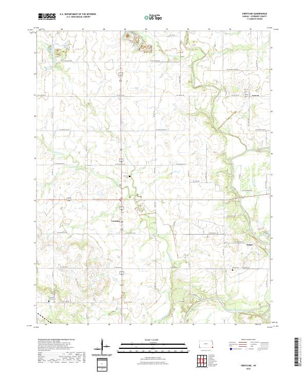
2022 Map of Crestline
USGS Topo · Published 2022About this map
Crestline sits at the heart of this Cherokee County landscape, where the flat upland plains begin to drop toward the river valley. The settlement pattern here follows a strict grid of section roads like NE Lawton Rd and SE Wyandotte Rd, reflecting the deep agricultural roots of southeastern Kansas. Water plays a defining role in the local geography, with Little Shawnee Cr and Shawnee Creek winding through the center of the sheet before joining the Spring River in the southeast corner near Badger. Family and community history is preserved in several rural burial grounds, including Wirtonia Cem and Timberhill Oak Hill Cem. The presence of Messer Cem near the river suggests a long-standing pattern of early settlement concentrated near the primary watercourses and the established river crossings of the era.
Find a feature on this map
31 named features on this map. Tap any name to fly to it.
Don’t see what you’re looking for? This feature index may not catch every label — zoom into the map to look around manually.
Map Details
Editions of this 2022 Crestline Map
This is the sole edition of this map. No revisions or reprints were ever made.
Other maps of this area

1886 · Joplin
USGS Topo · 1:125,000

1894 · Joplin
USGS Topo · 1:125,000

1918 · Columbus
USGS Topo · 1:62,500

1943 · Cherokee
USGS Topo · 1:62,500

1945 · Pittsburg
USGS Topo · 1:62,500

1945 · Cherokee
USGS Topo · 1:62,500

1947 · Joplin
USGS Topo · 1:250,000

1947 · Pittsburg
USGS Topo · 1:62,500

1949 · Joplin
USGS Topo · 1:250,000

1950 · Pittsburg
USGS Topo · 1:62,500