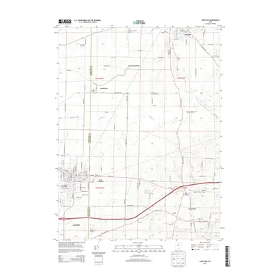
2013 Map of Crestline
USGS Topo · Published 2013About this map
The boundary between Crawford and Richland counties defines the central axis of this landscape, anchoring the bustling rail-and-road junctions of Crestline and Galion. To the north, Shelby sits near the headwaters of the Black Fork Mohican River, which winds its way southeast through Shafers Hollow. The region’s agrarian roots are visible in the grid of township roads and family-run operations like Schroeder's Grain Farm near the northern edge. Cultural and community history is preserved in several local burial grounds, including the Bethlehem Cem and German Reform Cem, marking early settlement patterns in Bethlehem and Vernon Junction. Transportation infrastructure is a dominant theme, ranging from the aviation facilities at Shelby Community Airport and Galion Municipal Airport to the entertainment history captured at the Sunset Drive-In near Ontario.
Find a feature on this map
150 named features on this map. Tap any name to fly to it.
Don’t see what you’re looking for? This feature index may not catch every label — zoom into the map to look around manually.
Map Details
Editions of this 2013 Crestline Map
This is the sole edition of this map. No revisions or reprints were ever made.
Other maps of this area

1913 · Mount Gilead
USGS Topo · 1:62,500

1915 · Bucyrus
USGS Topo · 1:62,500

1915 · Crestline
USGS Topo · 1:62,500

1915 · Shauck
USGS Topo · 1:62,500

1916 · Mount Gilead
USGS Topo · 1:62,500

1943 · Shauck
USGS Topo · 1:62,500

1943 · Bucyrus
USGS Topo · 1:62,500

1943 · Crestline
USGS Topo · 1:62,500

1943 · Mount Gilead
USGS Topo · 1:62,500

1950 · Marion
USGS Topo · 1:250,000