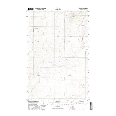
2017 Map of Creston Butte
USGS Topo · Published 2017About this map
Creston Butte overlooks an agricultural and ranching landscape in Lincoln County, characterized by a complex network of section-line roads and seasonal water sources. The terrain is dotted with vital water features like Baring Lake and Lone Pine Lake, along with numerous groundwater points such as Marquette Spring, Baring Spring, and Blenz Spring. These water sources, coupled with Sinking Cr, suggest a history of livestock grazing and dryland farming in this part of Washington.
Find a feature on this map
30 named features on this map. Tap any name to fly to it.
Don’t see what you’re looking for? This feature index may not catch every label — zoom into the map to look around manually.
Map Details
Editions of this 2017 Creston Butte Map
This is the sole edition of this map. No revisions or reprints were ever made.
Other maps of this area

1948 · Wilbur
USGS Topo · 1:62,500

1948 · Lincoln
USGS Topo · 1:62,500

1950 · Lincoln
USGS Topo · 1:62,500

1950 · Wilbur
USGS Topo · 1:62,500

1953 · Ritzville
USGS Topo · 1:250,000

1959 · Ritzville
USGS Topo · 1:250,000

1965 · Ritzville
USGS Topo · 1:250,000

1969 · Rocklyn SW
USGS Topo · 1:24,000

1969 · Telford
USGS Topo · 1:24,000

1969 · Creston Butte
USGS Topo · 1:24,000