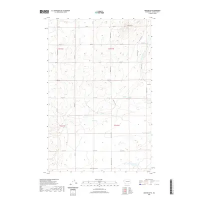
2020 Map of Creston Butte
USGS Topo · Published 2020About this map
Creston Butte rises above the rolling terrain of northern Lincoln County, where the landscape is defined by the intermittent flow of Sinking Creek. This agrarian region, mapped in the modern era, retains markers of its rural past through names like Swanson School House Rd and Seven Springs Dairy Rd, which suggest the historic locations of essential community infrastructure. Hydrology in this basalt-rich environment is scattered, centered around Baring Lake and several vital watering points such as Marquette Spring, Baring Spring, and Blenz Spring. The land is divided into a geometric grid of rural routes including Creston Butte Rd and Nelson Rd E, serving as the primary arteries for this high-plateau country.
Find a feature on this map
29 named features on this map. Tap any name to fly to it.
Don’t see what you’re looking for? This feature index may not catch every label — zoom into the map to look around manually.
Map Details
Editions of this 2020 Creston Butte Map
This is the sole edition of this map. No revisions or reprints were ever made.
Other maps of this area

1948 · Wilbur
USGS Topo · 1:62,500

1948 · Lincoln
USGS Topo · 1:62,500

1950 · Lincoln
USGS Topo · 1:62,500

1950 · Wilbur
USGS Topo · 1:62,500

1953 · Ritzville
USGS Topo · 1:250,000

1959 · Ritzville
USGS Topo · 1:250,000

1965 · Ritzville
USGS Topo · 1:250,000

1969 · Rocklyn SW
USGS Topo · 1:24,000

1969 · Telford
USGS Topo · 1:24,000

1969 · Creston Butte
USGS Topo · 1:24,000