2024 Map of Creston
USGS Topo · Published 2024About this map
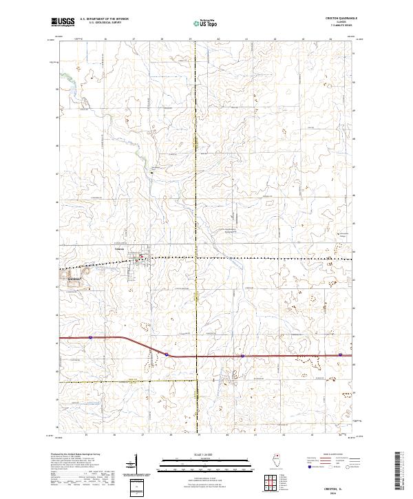
The village of Creston sits at the heart of this landscape, where the agricultural grid is intersected by the drainage systems of North Creston Ditch and the winding Killbuck Creek. This modern survey reveals a region defined by a precise network of rural roads such as S Woodlawn Rd and Quitno Rd, which separate large tracts of fertile Illinois farmland. Along the eastern edge, the presence of Kishwaukee College marks a significant educational hub, while the Hendrickson Flying Service airfield provides a specialized landmark in the open terrain.
Find a feature on this map
54 named features on this map. Tap any name to fly to it.
Don’t see what you’re looking for? This feature index may not catch every label — zoom into the map to look around manually.
Map Details
Editions of this 2024 Creston Map
This is the sole edition of this map. No revisions or reprints were ever made.