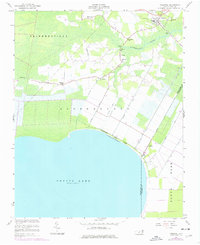
1954 Map of Creswell
USGS Topo · Published 1977About this map
Pettigrew State Park anchors the northern shore of Phelps Lake, where a complex network of man-made waterways like the Western Canal and Thirty Foot Canal define the low-lying coastal plain. This landscape, shaped by drainage and agriculture, centers on the town of Creswell, where the High Sch and St Davids Ch stand near the Scuppernong River. The map reveals a deeply rooted rural community, tracing small settlements and crossroads such as Cherry and Woodley Chapel. A high density of country churches, including Mt Tabor Ch, St Marys Ch, and the Galilee Mission, indicates the social and spiritual hubs of the mid-century. Bridges like Phelps Bridge and Spruills Bridge provide essential crossings over the river, linking the farms and timberlands that characterize the Skinnersville and Scuppernong areas during this post-war period of refinement.
Find a feature on this map
35 named features on this map. Tap any name to fly to it.
Don’t see what you’re looking for? This feature index may not catch every label — zoom into the map to look around manually.
Map Details
Editions of this 1954 Creswell Map
2 editions found
Other maps of this area

1914 · Belhaven
USGS Topo · 1:48,000

1916 · Belhaven
USGS Topo · 1:62,500

1943 · Columbia
USGS Topo · 1:125,000

1943 · Plymouth
USGS Topo · 1:125,000

1953 · Columbia West
USGS Topo · 1:24,000

1953 · Rocky Mount
USGS Topo · 1:250,000

1954 · Rocky Mount
USGS Topo · 1:250,000

1954 · Roper North
USGS Topo · 1:24,000

1954 · Roper South
USGS Topo · 1:24,000
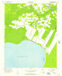
1954 · Creswell
USGS Topo · 1:24,000