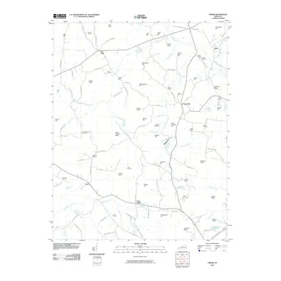
2010 Map of Crider
USGS Topo · Published 2010About this map
Crider and Farmersville anchor this rural landscape in the early 21st century, where the topography of Caldwell County is defined by a series of prominent ridges and hills. The area is heavily intersected by small watercourses like Donaldson Creek, Skinframe Creek, and Goose Creek, which carve through the terrain near landmarks such as The Knob and Black Sulphur Ridge. The mapping reveals a high density of family-named burial sites, including the Holeman Cemetery, Asher Cemetery, and Deboe Cemetery, offering valuable data for genealogists tracing regional lineages.
Find a feature on this map
114 named features on this map. Tap any name to fly to it.
Don’t see what you’re looking for? This feature index may not catch every label — zoom into the map to look around manually.
Map Details
Editions of this 2010 Crider Map
This is the sole edition of this map. No revisions or reprints were ever made.
Other maps of this area

1908 · Princeton
USGS Topo · 1:62,500

1909 · Providence
USGS Topo · 1:62,500

1910 · Princeton
USGS Topo · 1:62,500

1916 · Fords Ferry
USGS Topo · 1:62,500

1921 · Fords Ferry
USGS Topo · 1:48,000

1925 · Cave In Rock
USGS Topo · 1:62,500

1928 · Eddyville
USGS Topo · 1:48,000

1931 · Eddyville
USGS Topo · 1:62,500

1936 · Eddyville
USGS Topo · 1:48,000

1949 · Paducah
USGS Topo · 1:250,000