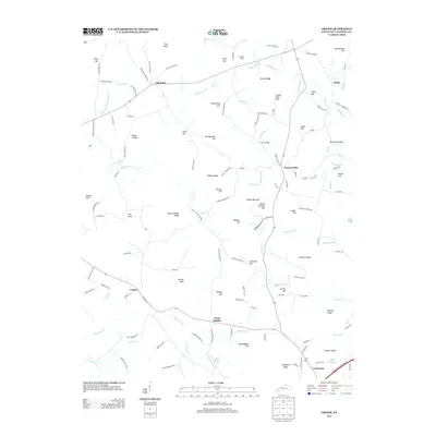
2013 Map of Crider
USGS Topo · Published 2013About this map
White Sulphur and the neighboring settlement of Crider anchor the southern portion of this Kentucky landscape, where the water system of Skinframe Cr and White Sulphur Cr dictates the local geography. The map reveals a rural network defined by family-named ridges and hills, such as Montgomery Hill, Asher Hill, and Sigler Hill, suggesting a long history of generational landholding. Notable landmarks like White Sulphur Spring and Dunn Spring highlight the importance of natural water sources to this community, while Sons Bridge marks a crossing over Donaldson Cr. To the northeast, Farmersville serves as a local hub, connected by a web of winding roads like Lillard Watson Rd and Gosche Hollow Rd. The terrain is deeply textured with features like The Knob and Black Sulphur Ridge, illustrating the varied topography of Caldwell County before modern development patterns fully altered the agricultural character.
Find a feature on this map
131 named features on this map. Tap any name to fly to it.
Don’t see what you’re looking for? This feature index may not catch every label — zoom into the map to look around manually.
Map Details
Editions of this 2013 Crider Map
This is the sole edition of this map. No revisions or reprints were ever made.
Other maps of this area

1908 · Princeton
USGS Topo · 1:62,500

1909 · Providence
USGS Topo · 1:62,500

1910 · Princeton
USGS Topo · 1:62,500

1916 · Fords Ferry
USGS Topo · 1:62,500

1921 · Fords Ferry
USGS Topo · 1:48,000

1925 · Cave In Rock
USGS Topo · 1:62,500

1928 · Eddyville
USGS Topo · 1:48,000

1931 · Eddyville
USGS Topo · 1:62,500

1936 · Eddyville
USGS Topo · 1:48,000

1949 · Paducah
USGS Topo · 1:250,000