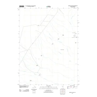
2012 Map of Crippen Canyon
USGS Topo · Published 2012About this map
The Shoshone Range dominates this portion of Lander County, where a legacy of silver-era industry is still evident through several named mill sites. Concentrated near the settlement of Lewis, mining infrastructure including the Starr Grove Mill, Eagle Mill, and Highland Chief Mill sit along the drainage of Lewis Creek. This cluster, accompanied by the Lewis Post Office, suggests a once-active corridor of ore processing and transit tucked into the eastern slopes of the mountains.
Find a feature on this map
26 named features on this map. Tap any name to fly to it.
Don’t see what you’re looking for? This feature index may not catch every label — zoom into the map to look around manually.
Map Details
Editions of this 2012 Crippen Canyon Map
This is the sole edition of this map. No revisions or reprints were ever made.
Other maps of this area

1932 · Sonoma Range
USGS Topo · 1:250,000

1939 · Sonoma Range
USGS Topo · 1:250,000

1940 · Antler Peak
USGS Topo · 1:62,500

1943 · Antler Peak
USGS Topo · 1:62,500

1949 · Mt. Lewis
USGS Topo · 1:62,500

1950 · Mt. Lewis
USGS Topo · 1:62,500

1955 · Winnemucca
USGS Topo · 1:250,000

1957 · Battle Mountain
USGS Topo · 1:62,500

1958 · Winnemucca
USGS Topo · 1:250,000

1961 · McCoy
USGS Topo · 1:62,500