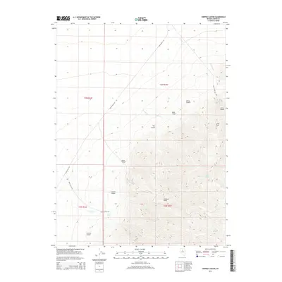
2014 Map of Crippen Canyon
USGS Topo · Published 2014About this map
The Shoshone Range dominates this portion of Lander County, revealing a landscape defined by sharp elevation changes and high-altitude water sources. Rising toward Lewis Peak, the terrain is carved by a series of dramatic drainages including Crippen Canyon, Whisky Canyon, and Pipe Canyon. These natural features dictate the path of the few established routes in the area, such as Martin Ranch Rd and Lewis Canyon Rd, which navigate the base of the slopes.
Find a feature on this map
24 named features on this map. Tap any name to fly to it.
Don’t see what you’re looking for? This feature index may not catch every label — zoom into the map to look around manually.
Map Details
Editions of this 2014 Crippen Canyon Map
This is the sole edition of this map. No revisions or reprints were ever made.
Other maps of this area

1932 · Sonoma Range
USGS Topo · 1:250,000

1939 · Sonoma Range
USGS Topo · 1:250,000

1940 · Antler Peak
USGS Topo · 1:62,500

1943 · Antler Peak
USGS Topo · 1:62,500

1949 · Mt. Lewis
USGS Topo · 1:62,500

1950 · Mt. Lewis
USGS Topo · 1:62,500

1955 · Winnemucca
USGS Topo · 1:250,000

1957 · Battle Mountain
USGS Topo · 1:62,500

1958 · Winnemucca
USGS Topo · 1:250,000

1961 · McCoy
USGS Topo · 1:62,500